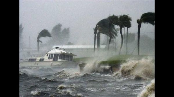
Mérida, Yucatán, (June 08, 2021).- “The conditions for the Peninsula and in particular for Yucatan will increase the potential for rainfall as the days go by. During the weekend, there are probabilities of cyclonic formation in the Caribbean Sea and in the Pacific Ocean”, reported meteorologist Juan Vázquez Montalvo, from the Autonomous University of Yucatán.
He also explained that the high potential for rain will go from Friday, through Sunday and the coming week.
“The rains this weekend will be provoked by the contributions of humidity from a possible cyclone in the Pacific south of Guatemala and El Salvador, and a low-pressure system in the western Caribbean”, he said.
This pattern of changes is due to the presence of a phenomenon called the Madden-Julian oscillation, he pointed out.
The Madden-Julian oscillation causes increased rainfall and makes environmental conditions suitable for the formation of tropical cyclones, usually occurring in June and July.
In the expert’s opinion, the phenomenon is located in the western and central Caribbean Sea, part of the Pacific and the southern Gulf of Mexico.
When this oscillation occurs, it raises the potential for rainfall and forms many low-pressure systems.
Then, as this oscillation is positioned, the potential for rainfall gets quite strong during the weekend, it could even be accompanied by gusts of wind, lightning, and thunder.
This oscillation can also cause some of the low pressures to grip force and become a tropical cyclone.
That is the reason why the National Hurricane Center is making a five-day forecast that, with a low probability, a tropical cyclone will form in the southern Caribbean Sea.
This formation would be next weekend and would advance towards the northwest, then it would move to the west of the Caribbean Sea and with it further increase the potential for rains in the Yucatan peninsula in such a way that they could be from intense to torrential.
Vázquez Montalvo explained that, in addition to this, a tropical wave arrives that will cross the southern Gulf of Mexico and when it is in the western Caribbean Sea, a tropical cyclone is more likely to form.
The specialist explained that all of the above would happen this weekend or at the beginning of next week.
Then he added that there is another situation. In the south of the Pacific, south of El Salvador and Guatemala, there is another possible tropical cyclone formation and when this Madden-Julian oscillation arrives, the formation of a cyclone that enters through Guatemala and Chiapas and exits the Gulf of Mexico, early next week.
Of these forecast projections for a tropical cyclone, he said, the one that would form in the Caribbean Sea could pass over the Yucatan peninsula to leave the Gulf of Mexico this weekend or early next weekend.
The meteorologist commented that first, it will be necessary to see if the phenomenon will form, to know with what category it would happen, but what it will be had is bad weather. He reiterated that the possibility is still low, in fact now there is nothing formed in the Caribbean.
The possible cyclonic formation that would form in the Pacific would cross between Tabasco and Campeche to exit the Gulf of Mexico, very similar to what “Amanda” and “Cristóbal” did last year generating floods across the state.


