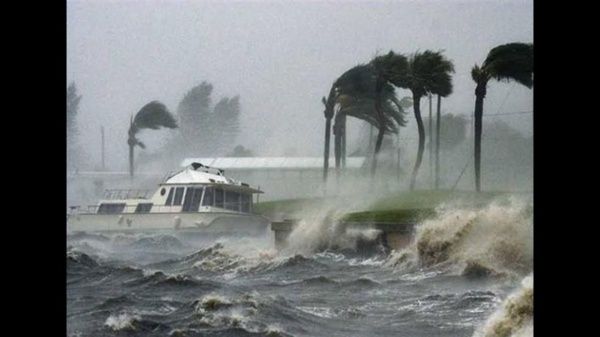
Tropical storm Hilary became a hurricane on Thursday while moving parallel to the Mexican Pacific coast, where rains are expected and there is a risk of flooding, reported the National Hurricane Center of the United States (NHC).
At 13:00 GMT, the category 2 hurricane was located 515 kilometers southwest of the Manzanillo, in Colima state, it registered maximum sustained winds of 120 kilometers per hour and moved in a west-northwest direction at 20 kilometers per hour.
According to the potential trajectory traced by the NHC, Hilary will intensify as it approaches the Baja California peninsula over the weekend to weaken later as it approaches the southwestern United States, where it would also drop heavy rains, according to the agency.
#Hilary is now a Category 1 Hurricane pic.twitter.com/PtoIVOiIOx
— Zoom Earth (@zoom_earth) August 17, 2023
The Mexican National Meteorological Service urged the population to “extreme precautions” due to rainfall, wind and waves in Nayarit, Jalisco, Colima, Michoacán, Guerrero and Oaxaca. The cyclone will also drop rainfall in central states such as Guanajuato and the State of Mexico, as well as in the capital, Mexico City.
The Mexican agency added that in coordination with the National Hurricane Center in Miami, United States, it maintains a surveillance zone for the effects of tropical storms from Cabo San Lázaro on the east coast of Baja California Sur, to Cabo San Evaristo, on the west coast of the state. The agency estimates that this Thursday afternoon the phenomenon will intensify and go to category 3 without touching Mexican lands, while between Friday and Saturday it will be category 4.
TYT Newsroom


