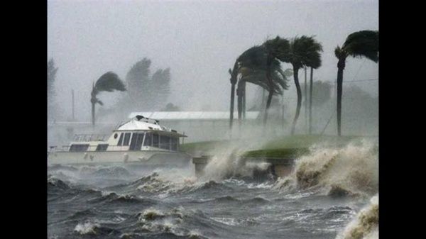
Hurricane “Lee” is already category 2 on the Saffir-Simpson scale and its center is currently located 1,405 kilometers east of the Lesser Antilles, and 3,905 kilometers east of the coast of Quintana Roo, as reported the National Meteorological Service.
It was also reported that on September 7, it presents maximum sustained winds of 164 km/h, gusts of 205 km/h and displacement to the west-northwest at 24 km/h.
Due to its distance and trajectory, the system does not represent a danger to Mexican territory, but it is still under surveillance.
Forecasters warn that Hurricane Lee could become the first Category 5 storm of the Atlantic season.
Also, “Lee” is expected to become an “extremely dangerous” hurricane by Friday morning.
“Lee” is the twelfth named storm of the Atlantic hurricane season, which lasts from June 1 to November 30, with September being the most intense month.
The US National Oceanic and Atmospheric Administration estimated in August that there could be 14 to 21 named storms this season, with 6 to 11 becoming hurricanes. Up to five of these could be major hurricanes.
Meanwhile, in the Pacific, Hurricane “Jova” is moving through open waters off the southwestern coast of Mexico as a Category 5 storm. It poses no threat to land.
TYT Newsroom


