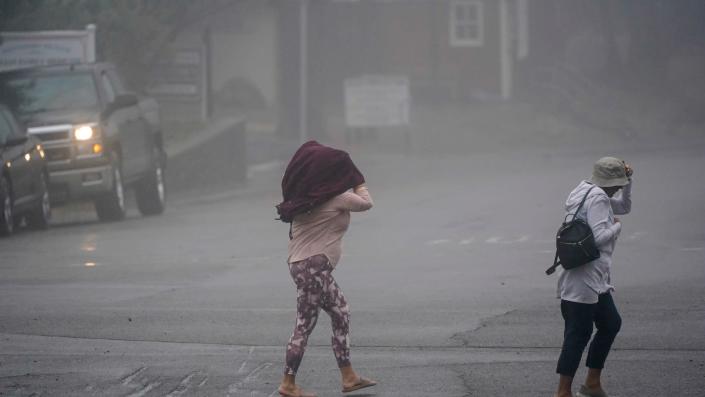
After a pause in bad weather, with some days of high temperatures in the region, next weekend the weather will begin to change due to a cold front that will bring “north” and “freezing” will return.
According to a report by meteorologist Juan Antonio Palma Solís, coordinator of the Meteored agency, on Thursday and Friday the weather will be hot to very hot in the region.
The maximum temperature would be 35°C with thermal sensations above 40°C, mainly in the center and west of the region, due to the influence of an anticyclonic ridge, although some passing showers are not ruled out due to the entry of tropical maritime air.
When will cold front 31 arrive in Yucatán?
However, the weather will change radically starting on Saturday, January 27 when the probability of rain and thunderstorms will increase in several areas due to a prefrontal trough induced by cold front 31, which they call “Puut” (papaya in Mayan), which will be will be located in the center of the Gulf of Mexico.
The specialist points out that “Puut” will arrive in the Yucatan Peninsula at approximately noon on Sunday, so the rains will continue in the region.
In this regard, the forecasts indicate that in these two days, there will be very heavy rains (50 to 75 mm) to intense punctually (75 to 100 mm) in the north, center, west, south of Yucatán, north, center of Campeche, center from Quintana Roo and southern Tabasco.
In addition, rains of moderate (5 to 25 mm) to heavy intensity (25 to 50 mm) would be recorded in the rest of the region.
“Frozenness” returns to the Yucatan Peninsula
“On this occasion, we will have the direct impact of the associated continental polar air mass throughout the region, since the ‘Puut’ frontal system will reach all the way down to Honduras, in Central America” the report adds.
The arrival of boreal air will favor a moderate “northern” event, with speeds of 20 to 50 km/h, without ruling out gusts greater than 60 km/h in coastal areas.
High waves of 2 to 3 meters high, maximum temperatures below 27°C and the return of “freezing” are also expected after 1 month of absence.
In fact, for the sunrises on Monday, Tuesday and Wednesday (the last 3 days of January), the mercury column could decrease to minimum values of 10 to 15°C, without ruling out specific values of 8 to 9°C in the center and south of the Yucatan Peninsula.
“Now we do expect mostly clear skies to occur during the nights and early mornings of the first days of next week, which will allow for a more significant radiative cooling, so, without a doubt, this is a good time to wash coats and blankets,” he points out.
Even the meteorological analysis indicates that the “freezing” could last until almost the end of next week, since the flow from the East-Southeast would take time to return.
TYT Newsroom


